

Tipsa dina vänner om produkten:
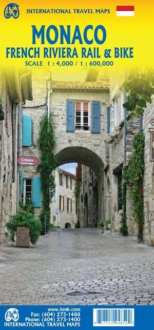
International Travel Maps: France North Rail & Bike 1:a utgåva
ITM Publications

International Travel Maps: France North Rail & Bike 1:a utgåva
ITM Publications
The northern half of France is fairly flat, making it an ideal area for biking. However, it is also a rather large area, covering several provinces of France, so we have combined rail access with biking. All the motorways and main highways are also shown, so this map is ideal for someone wanting to drive to, say, Brittany, and bike during their stay in the Breton peninsula. Side 1 covers Normandy, Brittany, the Loire, and the Poitou region west of Paris. Side 2 covers all of northern France from Calais to Strasbourg and south to Lyon. Small adjacent portions of Switzerland and Italy are included. A Top 9 Attractions list is included. France South was published a little while ago, so the entire country is now available in detail. The map is printed on waterproof stone paper for durability. Legend Includes: Roads by classification, Rivers and Lakes, National Park, Airports, Points of Interests, Highways, Main Roads, Zoos, Fishing, and much more...
| Media | Böcker Inbunden Bok (Inbunden bok med hårda pärmar och skyddsomslag) |
| Releasedatum | 31 januari 2021 |
| ISBN13 | 9781771292863 |
| Utgivare | ITMB publishing |
| Genre | Maps & Guides |
| Mått | 138 g |
| Språk | Engelska |
Fler produkter med ITM Publications


Andra har också köpt
![Cover for James Joyce · Ulysses (Inbunden Bok) [1:a utgåva] [Indbundet] (2014)](https://imusic.b-cdn.net/images/item/original/584/9788763814584.jpg?james-joyce-2014-ulysses-inbunden-bok&class=scaled&v=1412192648)
![Cover for G.W.F. Hegel · AFTRYK: Dialetik (Poketbok) [1:a utgåva] (2022)](https://imusic.b-cdn.net/images/item/original/800/9788793535800.jpg?g-w-f-hegel-2022-aftryk-dialetik-poketbok&class=scaled&v=1661237403)
![Cover for Den Grønne Ungdomsbevægelse · En Grøn Retfærdig Fremtid (Poketbok) [1:a utgåva] (2022)](https://imusic.b-cdn.net/images/item/original/000/9788794406000.jpg?den-groenne-ungdomsbevaegelse-2022-en-groen-retfaerdig-fremtid-poketbok&class=scaled&v=1670182722)
Se alt med ITM Publications ( t.ex. Inbunden Bok , Trycksaker , Bok , Kartor och Poketbok )