Tipsa dina vänner om produkten:
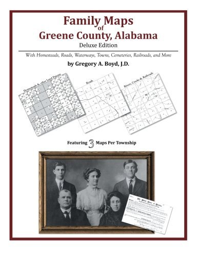
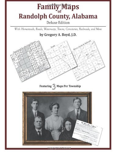
Family Maps of Carroll County, Arkansas
Gregory a Boyd J.d.
Beställningsvara
 Julklappar kan bytas fram till 31:e januari


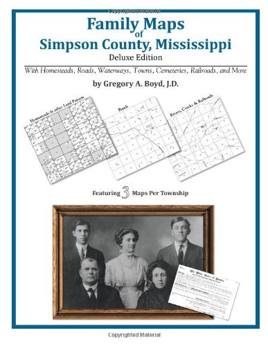
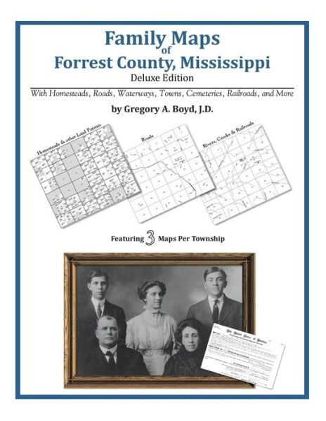
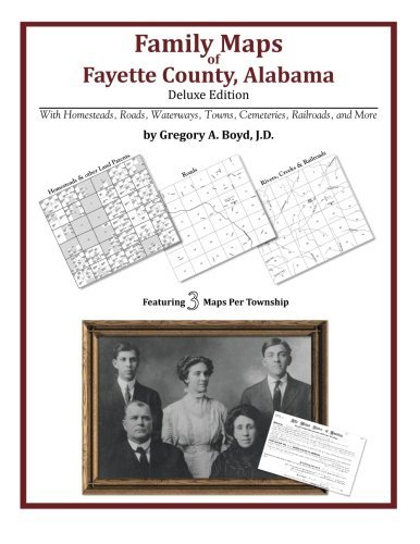
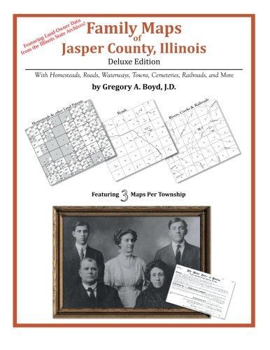
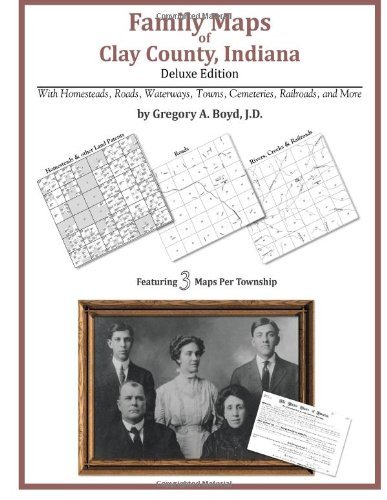
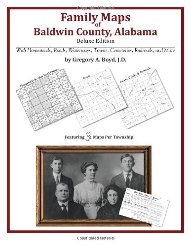
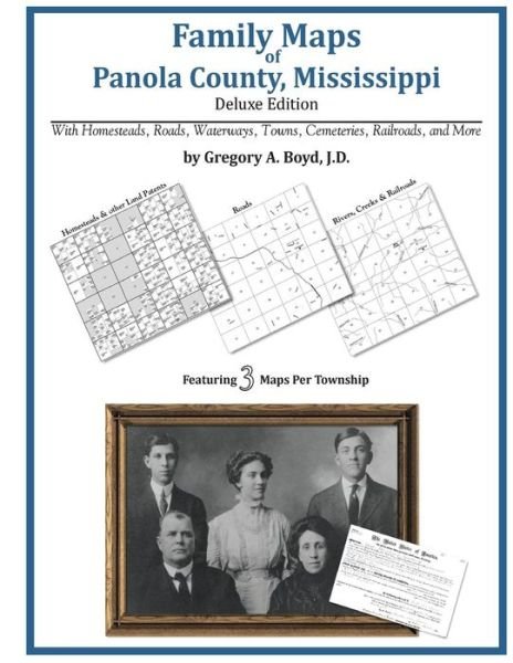
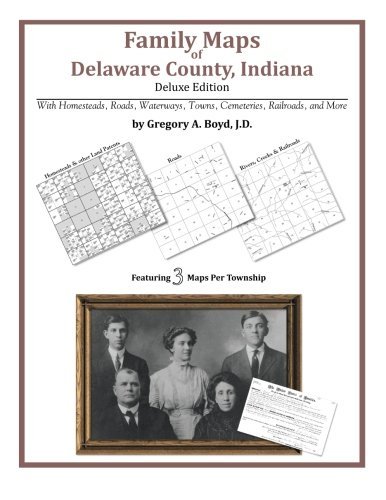
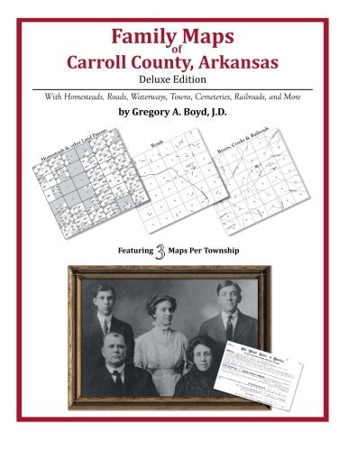
Family Maps of Carroll County, Arkansas
Gregory a Boyd J.d.
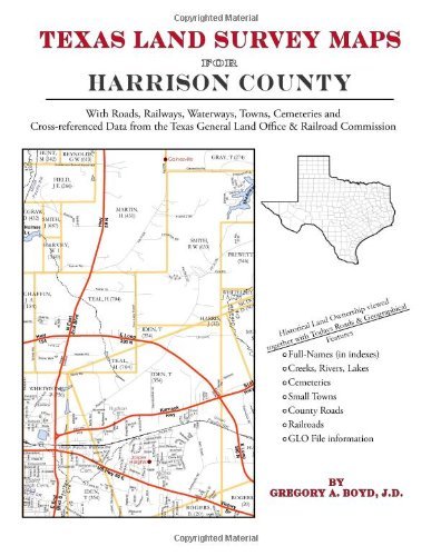
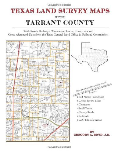
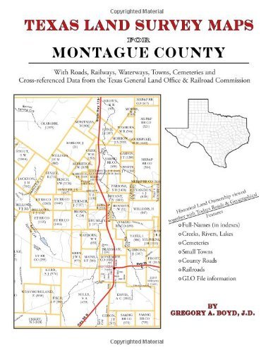
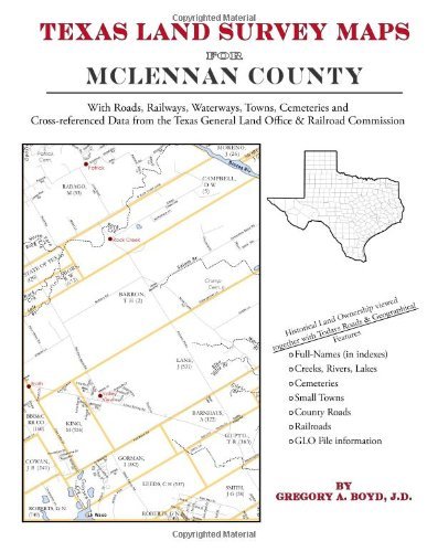
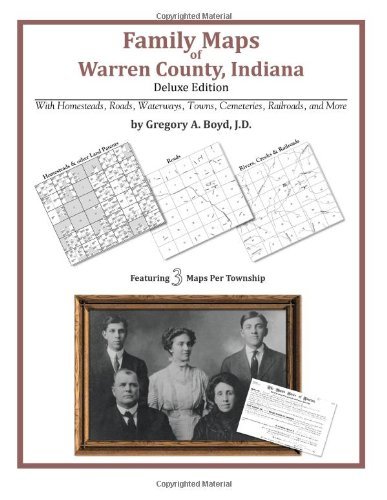
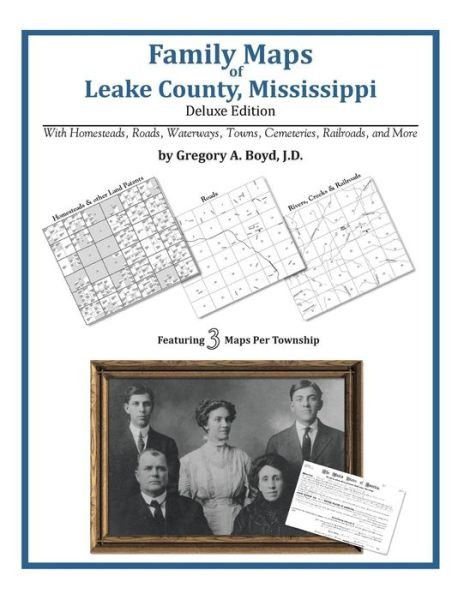
370 pages with 80 total maps Locating original landowners in maps has never been an easy task-until now. This volume in the Family Maps series contains newly created maps of original landowners (patent maps) in what is now Carroll County, Arkansas, gleaned from the indexes of the U. S. Bureau of Land Management. But it offers much more than that. For each township in the county, there are two additional maps accompanying the patent map: a road map and a map showing waterways, railroads, and both modern and many historical city-centers and cemeteries. Included are indexes to help you locate what you are looking for, whether you know a person's name, a last name, a place-name, or a cemetery. The combination of maps and indexes are designed to aid researchers of American history or genealogy to explore frontier neighborhoods, examine family migrations, locate hard-to-find cemeteries and towns, as well as locate land based on legal descriptions found in old documents or deeds. The patent-maps are essentially plat maps but instead of depicting owners for a particular year, these maps show original landowners, no matter when the transfer from the federal government was completed. Dates of patents typically begin near the time of statehood and run into the early 1900s. What's Mapped in this book (that you'll not likely find elsewhere) . . . 7094 Parcels of Land (with original landowner names and patent-dates labeled in the relevant map) 59 Cemeteries plus . . . Roads, and existing Rivers, Creeks, Streams, Railroads, and Small-towns (including some historical), etc. What YEARS are these maps for? Here are the counts for parcels of land mapped, by the decade in which the corresponding land patents were issued: Decade Parcel-count 1840s 137 1850s 864 1860s 440 1870s 748 1880s 1480 1890s 1569 1900s 1230 1910s 912 1920s 133 1930s 31 1940s 3 1950s 39 1960s 7 What Cities and Towns are in Carroll County, Arkansas (and in this book)? Beaver, Berryville, Blue Eye, Brasswell Spring (historical), Busch, Cabanal, Carrollton, Cave Spring (historical), Cisco, Coin, Conner, Dean, Delmar, Denver, Dryfork, Enon (historical), Eureka Springs, Farewell, Freeman (historical), Gaskins (historical), Gobbler, Grandview, Green Forest, High, Holiday Island, Hough, Indian Creek (historical), Junction (historical), Lone Star, Maple, Metalton, Mundell (historical), New Town (historical), Norton (historical), Nunnally (historical), Oak Hill, Oakgrove, Osage, Pleasant Ridge, Pleasant Valley, Polo (historical), Raum (historical), Rudd, Rule, Tunnel (historical), Urbanette, Walden (historical), Winona Springs (historical), Wolf Pen (historical), Yocum
| Media | Böcker Pocketbok (Bok med mjukt omslag och limmad rygg) |
| Releasedatum | 15 januari 2013 |
| ISBN13 | 9781420320565 |
| Utgivare | Arphax Publishing Co. |
| Antal sidor | 370 |
| Mått | 216 × 280 × 20 mm · 861 g |
| Språk | Engelska |