

Tipsa dina vänner om produkten:
Rand McNally Folded Map: Rochester New York Street Map
Beställningsvara
 Julklappar kan bytas fram till 31:e januari


Rand McNally Folded Map: Rochester New York Street Map
Rand McNally
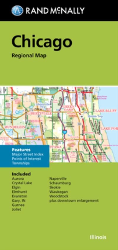
Rand McNally's folded map for Rochester is a must-have for anyone traveling in and around this part of New York, offering unbeatable accuracy and reliability at a great price. Our trusted cartography shows all Interstate, U. S., state, and county highways, along with clearly indicated parks, points of interest, airports, county boundaries, and streets. The easy-to-use legend and detailed index make for quick and easy location of destinations. You'll see why Rand McNally folded maps have been the trusted standard for years. -Regularly updated. -Full-color maps. -Clearly labeled Interstate, U. S., state, and county highways. -Indications of parks, points of interest, airports, county boundaries, downtown & vicinity maps. -Major attractions & Golf Courses. -Easy-to-use legend. -Detailed index & Major Street Index. -Convenient folded size. Coverage Area Communities Included: Fairport, Greece, Henrietta, Hilton, Perinton, Pittsford, Scottsville, Spencerport, Victor, Webster and adjoining communities plus downtown enlargement. Product Details: Measures 9.5' x 4' and folds out to 40' x 28'.
| Media | Böcker Kartor (Land- eller Sjökort) |
| Releasedatum | 30 september 2021 |
| ISBN13 | 9780528025280 |
| Utgivare | Rand McNally |
| Mått | 102 × 224 × 8 mm · 250 g (Estimerad vikt) |
| Språk | Engelska |
Fler produkter med Rand McNally
Visa alla


Andra har också köpt
![Cover for Preben Hansen · Turen Går Til: Turen går til Californien & Vestlige USA (Poketbok) [5:e utgåva] (2021)](https://imusic.b-cdn.net/images/item/original/578/9788740063578.jpg?preben-hansen-2021-turen-gaar-til-turen-gaar-til-californien-vestlige-usa-poketbok&class=scaled&v=1623395637)
![Cover for Per Jensen · Verdens mest almindelige fugl - en kærlighedserklæring til høns (Inbunden Bok) [1:a utgåva] (2024)](https://imusic.b-cdn.net/images/item/original/012/9788794571012.jpg?per-jensen-2024-verdens-mest-almindelige-fugl-en-kaerlighedserklaering-til-hoens-inbunden-bok&class=scaled&v=1717822126)
![Cover for Anne Hjernøe · Spis dig stærk, let og mæt (Inbunden Bok) [1:a utgåva] (2021)](https://imusic.b-cdn.net/images/item/original/978/9788740065978.jpg?anne-hjernoee-2021-spis-dig-staerk-let-og-maet-inbunden-bok&class=scaled&v=1612008725)
![Cover for Johan Olsen · Læs selv-serie: Hvad er en prut? Hvad er en bussemand? - Læs selv-serie (Inbunden Bok) [1:a utgåva] (2022)](https://imusic.b-cdn.net/images/item/original/941/9788740070941.jpg?johan-olsen-2022-laes-selv-serie-hvad-er-en-prut-hvad-er-en-bussemand-laes-selv-serie-inbunden-bok&class=scaled&v=1643963541)
![Cover for Glenn Bech · Jeg anerkender ikke længere jeres autoritet (Poketbok) [1:a utgåva] (2022)](https://imusic.b-cdn.net/images/item/original/068/9788702382068.jpg?glenn-bech-2022-jeg-anerkender-ikke-laengere-jeres-autoritet-poketbok&class=scaled&v=1661552279)


Se alt med Rand McNally ( t.ex. Pocketbok , Kartor , Inbunden Bok , Bok och Spiralbok )